Temperature Dynamics in Turkey's Climate - kapak
Eğitim#turkey#climate#temperature#geography

Temperature Dynamics in Turkey's Climate

An academic overview of temperature distribution and its influencing factors across Turkey, covering geographical principles relevant to climate studies and educational curricula.

nisatekcanFebruary 8, 2026 ~20 dk toplam
01

Sesli Özet

6 dakika

Konuyu otobüste, koşarken, yolda dinleyerek öğren.

Sesli Özet

Temperature Dynamics in Turkey's Climate

0:005:40
02

Flash Kartlar

25 kart

Karta tıklayarak çevir. ← → ile gez, ⎵ ile çevir.

1 / 25
Tüm kartları metin olarak gör
  1. 1. What is the primary focus of studying temperature in Turkey's climate?

    The primary focus is to understand the diverse climatic conditions across Turkey by examining the determinants of temperature distribution, analyzing regional patterns, and highlighting seasonal variations. This provides a comprehensive academic understanding of temperature as a critical component of Turkey's climatology, relevant for advanced geographical studies.

  2. 2. Why does Turkey exhibit a complex interplay of geographical factors influencing its thermal regimes?

    Turkey is situated at the crossroads of three continents, which exposes it to a variety of geographical and meteorological influences. This unique location, combined with its diverse topography, leads to a complex interaction of factors that significantly shape its temperature dynamics and overall climate.

  3. 3. How does latitude generally influence temperature distribution in Turkey?

    As Turkey extends from approximately 36 to 42 degrees North latitude, there is a general decrease in temperature from south to north. This is primarily due to the varying angles at which solar radiation strikes the Earth's surface, with lower angles in the north leading to less intense heating.

  4. 4. Explain the effect of altitude on temperature in Turkey.

    Altitude is a crucial determinant because Turkey is a predominantly mountainous country. Temperatures generally decrease with increasing elevation, a phenomenon known as the lapse rate. For instance, high plateaus and mountain ranges in Eastern Anatolia experience significantly lower average temperatures compared to coastal lowlands.

  5. 5. Describe the impact of proximity to the sea on Turkey's coastal temperatures.

    Coastal regions, particularly along the Mediterranean, Aegean, and Black Seas, experience a strong maritime influence. This leads to milder winters and less extreme summer temperatures due to the moderating effect of large water bodies. The sea absorbs and releases heat more slowly than land, buffering temperature fluctuations.

  6. 6. What is continentality and how does it affect inland regions of Turkey?

    Continentality refers to the degree to which a region's climate is influenced by its distance from large bodies of water. In inland regions like Central and Eastern Anatolia, continentality is pronounced, resulting in greater diurnal (daily) and annual temperature ranges, characterized by hot, dry summers and cold, often snowy, winters.

  7. 7. How do air masses contribute to temperature variability in Turkey?

    Turkey is affected by various air masses originating from different source regions. These include cold polar air from the north, hot tropical air from the south, and maritime air from the west. The interaction and movement of these diverse air masses are key drivers of daily and seasonal temperature fluctuations across the country.

  8. 8. Explain how relief and aspect influence local temperature conditions in Turkey.

    Mountain ranges (relief) act as barriers to air masses and create rain shadow effects, which can influence local temperature. Additionally, the orientation of slopes (aspect) affects the amount of solar radiation received, leading to localized temperature differences even within small geographical areas.

  9. 9. What are the defining temperature characteristics of the Mediterranean Climate in Turkey?

    The Mediterranean Climate, found along the Aegean and Mediterranean coasts, is characterized by hot, dry summers and mild, rainy winters. Average summer temperatures often exceed 25 degrees Celsius, while winter averages typically remain above 10 degrees Celsius, with frost being rare.

  10. 10. Where in Turkey is the Mediterranean Climate primarily observed?

    The Mediterranean Climate is primarily observed along Turkey's Aegean and Mediterranean coastal regions. These areas directly benefit from the moderating influence of the sea, which shapes their characteristic temperature patterns, including hot, dry summers and mild, rainy winters.

  11. 11. Describe the temperature characteristics of the Black Sea Climate in Turkey.

    The Black Sea Climate, prevalent along the northern coast, exhibits milder temperatures throughout the year due to consistent maritime influence. Summers are warm and humid, with average temperatures around 22-24 degrees Celsius, and winters are cool and damp, with averages generally above 5 degrees Celsius. Temperature extremes are less common here.

  12. 12. Which region of Turkey is dominated by the Black Sea Climate?

    The Black Sea Climate is prevalent along Turkey's northern coast, bordering the Black Sea. This region's climate is strongly influenced by the moisture and temperature regulation provided by the large body of water, leading to more temperate conditions compared to inland areas.

  13. 13. What are the general temperature characteristics of the Continental Climate in Turkey?

    The Continental Climate dominates Turkey's vast interior regions, including Central Anatolia, Eastern Anatolia, and parts of Southeastern Anatolia. This climate is marked by significant temperature variations, featuring hot, dry summers and cold, often snowy, winters, with large diurnal and annual temperature ranges.

  14. 14. How do temperatures vary in Central Anatolia under the Continental Climate?

    Central Anatolia experiences hot, dry summers where temperatures often reach 30 degrees Celsius or higher. Winters are cold and snowy, with temperatures frequently dropping below freezing. This region exemplifies the significant temperature fluctuations characteristic of continental climates due to its distance from maritime influences.

  15. 15. What makes Eastern Anatolia's winters particularly cold compared to other regions in Turkey?

    Eastern Anatolia, due to its higher altitude, experiences the coldest winters in Turkey. Average January temperatures often fall below minus 5 degrees Celsius. While summers are relatively short and warm, the elevation significantly amplifies the severity of winter conditions, making it the coldest region.

  16. 16. What unique temperature characteristic defines Southeastern Anatolia's summers?

    Southeastern Anatolia, while having continental characteristics, is uniquely influenced by hot air masses from the Arabian Peninsula. This leads to extremely hot and dry summers, with temperatures frequently exceeding 40 degrees Celsius, making it one of the hottest regions in Turkey during summer.

  17. 17. List the primary factors that collectively shape Turkey's temperature regime.

    Turkey's temperature regime is shaped by intricate interactions among latitude, altitude, proximity to maritime influences, continental effects, prevailing air masses, and local relief and aspect. These factors combine to create the diverse thermal conditions observed across the country.

  18. 18. Why is understanding Turkey's temperature dynamics crucial?

    Understanding Turkey's temperature dynamics is crucial for comprehending its overall climate, agricultural potential, hydrological cycles, and ecological diversity. It provides essential insights for geographical studies and forms a foundational element in educational curricula focused on the physical geography of Turkey.

  19. 19. Define the term 'lapse rate' in the context of temperature and altitude.

    The lapse rate refers to the rate at which atmospheric temperature generally decreases with an increase in elevation. In mountainous regions like Turkey, this phenomenon explains why higher altitudes experience significantly lower average temperatures compared to lower elevations, due to reduced atmospheric pressure and density.

  20. 20. Which climate region in Turkey experiences the highest annual average temperatures?

    The Mediterranean Climate region, found along the Aegean and Mediterranean coasts, experiences the highest annual average temperatures in Turkey. This is due to its characteristic hot, dry summers and mild, rainy winters, where average winter temperatures typically remain above 10 degrees Celsius.

  21. 21. In which climate type are temperature extremes less common compared to inland areas?

    Temperature extremes are less common in the Black Sea Climate region compared to inland areas. This is attributed to the consistent maritime influence of the Black Sea, which moderates both summer highs and winter lows, leading to more temperate conditions throughout the year.

  22. 22. How do mountain ranges specifically influence temperature distribution beyond just altitude?

    Beyond the general effect of altitude, mountain ranges act as physical barriers to air masses, creating rain shadow effects on one side, which influences moisture and indirectly temperature. They can also channel or block air flows, leading to localized temperature differences and variations in weather patterns.

  23. 23. What is the difference between diurnal and annual temperature ranges, and which climate type in Turkey exhibits greater ranges for both?

    Diurnal temperature range is the difference between daily maximum and minimum temperatures, while annual range is the difference between the average temperatures of the hottest and coldest months. The Continental Climate in inland regions of Turkey exhibits greater diurnal and annual temperature ranges due to the lack of maritime moderation.

  24. 24. How do solar radiation incidence angles relate to temperature changes with latitude in Turkey?

    Solar radiation incidence angles refer to the angle at which sunlight strikes the Earth's surface. In Turkey, as one moves from south to north, these angles become more oblique. This means the same amount of solar energy is spread over a larger area, resulting in less intense heating and generally lower temperatures in northern latitudes.

  25. 25. Explain the 'moderating effect' of large water bodies on temperature.

    Large water bodies like seas have a high specific heat capacity, meaning they absorb and release heat more slowly than land. This moderating effect buffers temperature extremes, making coastal areas experience milder winters and cooler summers compared to inland regions at similar latitudes, reducing both diurnal and annual temperature variations.

03

Bilgini Test Et

15 soru

Çoktan seçmeli sorularla öğrendiklerini ölç. Cevap + açıklama.

Soru 1 / 15Skor: 0

According to the introduction, what is the primary objective of providing a comprehensive academic understanding of temperature in Turkey's climatology?

04

Detaylı Özet

4 dk okuma

Tüm konuyu derinlemesine, başlık başlık.

This content is based on a YouTube video.

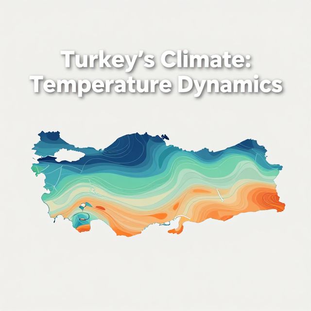
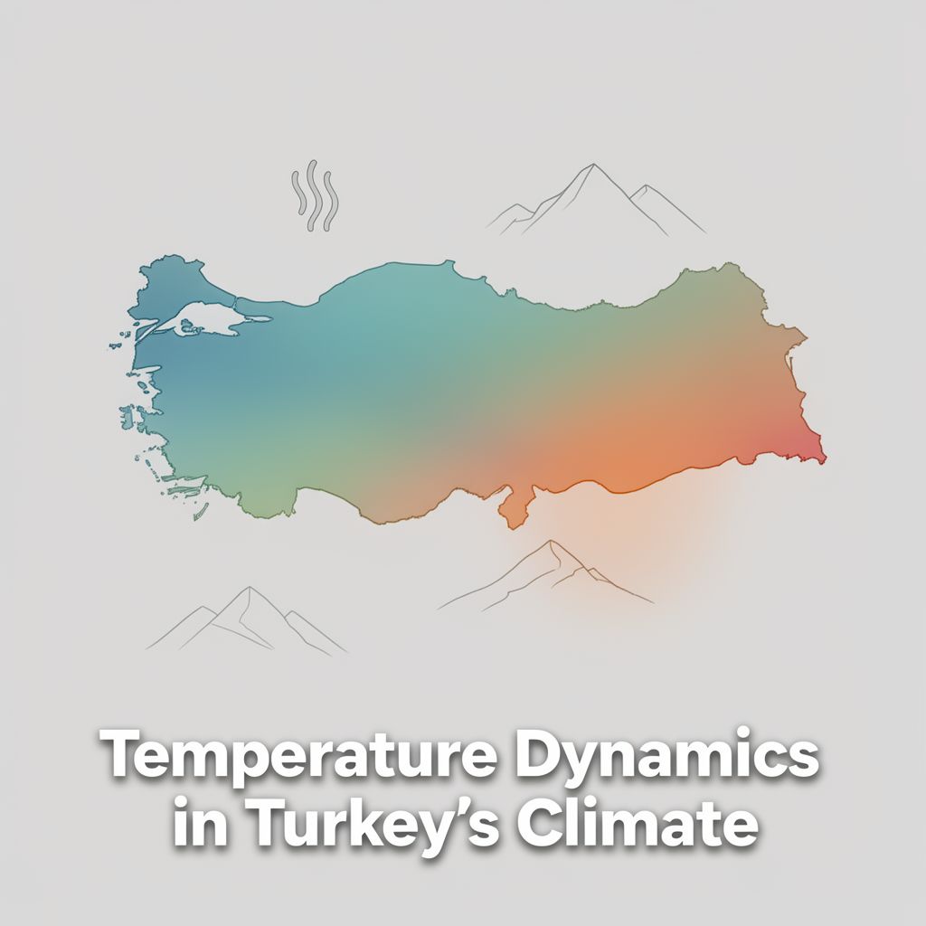
🇹🇷 Temperature Dynamics in Turkey's Climate: A Comprehensive Study Guide

📚 Introduction to Temperature in Turkey's Climate

Understanding temperature dynamics is fundamental to comprehending the diverse climatic conditions across Turkey. Situated at the crossroads of three continents, Turkey's geography significantly influences its thermal regimes. This study guide systematically examines the primary determinants of temperature distribution, analyzes characteristic regional temperature patterns, and highlights seasonal variations, providing a comprehensive academic understanding of temperature as a critical component of Turkey's climatology.

🌡️ Primary Factors Influencing Temperature Distribution

Temperature distribution in Turkey is governed by a complex interplay of geographical and meteorological factors.

1️⃣ Latitude

Definition: The angular distance of a place north or south of the Earth's equator.

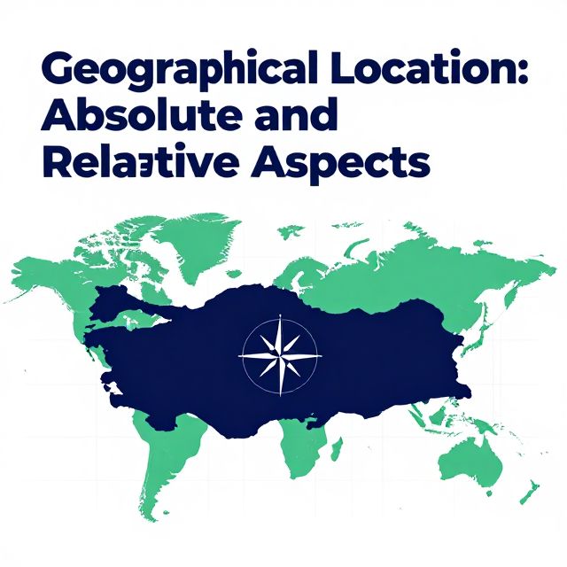
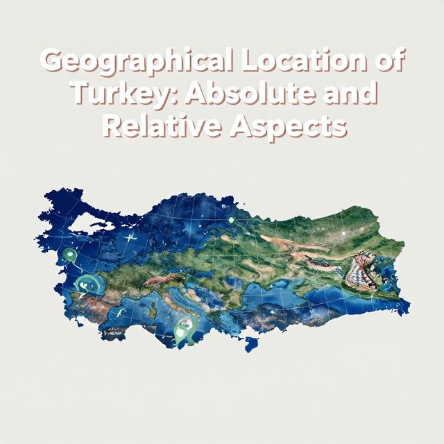
  • Turkey extends approximately from 36° to 42° North latitude.
  • Effect: Generally, temperatures decrease from south to north due to varying solar radiation incidence angles.
  • 💡 Note: This latitudinal effect is often modified by other factors.

2️⃣ Altitude

Definition: The height of an object or point in relation to sea level or ground level.

  • Turkey is a predominantly mountainous country.
  • Effect: Temperatures generally decrease with increasing elevation, a phenomenon known as the lapse rate.
  • Example: High plateaus and mountain ranges in Eastern Anatolia experience significantly lower average temperatures compared to coastal lowlands.

3️⃣ Proximity to the Sea & Continentality

Maritime Influence: The moderating effect of large water bodies on temperature.

  • Coastal Regions: Along the Mediterranean and Aegean Seas, experience milder winters and less extreme summer temperatures. The Black Sea coast also benefits from this influence, leading to more temperate conditions. ✅ Continentality: The degree to which the climate of a region is influenced by its distance from the sea.
  • Inland Regions: Especially Central and Eastern Anatolia, are far from maritime influences.
  • Effect: This results in greater diurnal (daily) and annual temperature ranges, characterized by hot, dry summers and cold, often snowy, winters.

4️⃣ Air Masses

Definition: Large bodies of air with relatively uniform temperature and humidity characteristics.

  • Turkey is affected by various air masses originating from different source regions.
  • Types:
    • Cold polar air from the north.
    • Hot tropical air from the south.
    • Maritime air from the west.
  • Effect: The interaction and movement of these air masses dictate daily and seasonal temperature fluctuations.

5️⃣ Relief and Aspect

Relief: The configuration of the Earth's surface, including differences in elevation.

  • Effect: Mountain ranges act as barriers to air masses and create rain shadow effects, influencing local temperature conditions. ✅ Aspect: The direction a slope faces.
  • Effect: The orientation of slopes affects the amount of solar radiation received, leading to localized temperature differences.

🌍 Regional Temperature Characteristics and Climate Types

Turkey's diverse geography results in distinct regional temperature characteristics, broadly categorized into three main climate types.

1. Mediterranean Climate

  • Location: Aegean and Mediterranean coasts.
  • Characteristics:
    • Hot, dry summers.
    • Mild, rainy winters.
    • Summer Temperatures: Often exceed 25°C.
    • Winter Temperatures: Typically remain above 10°C, with frost being rare.
  • 📈 This region experiences the highest annual average temperatures in Turkey.

2. Black Sea Climate

  • Location: Northern coast.
  • Characteristics:
    • Milder temperatures throughout the year due to consistent maritime influence.
    • Warm and humid summers.
    • Cool and damp winters.
    • Summer Temperatures: Around 22-24°C.
    • Winter Temperatures: Generally above 5°C.
  • ⚠️ Temperature extremes are less common here compared to inland areas.

3. Continental Climate

  • Location: Dominates vast interior regions, including Central Anatolia, Eastern Anatolia, and parts of Southeastern Anatolia.
  • Characteristics: Marked by significant temperature variations.

a. Central Anatolia

  • Summers: Hot, dry, often reaching 30°C or higher.
  • Winters: Cold, snowy, with temperatures frequently dropping below freezing.

b. Eastern Anatolia

  • Altitude Effect: Due to its higher altitude, it experiences the coldest winters in Turkey.
  • Winter Temperatures: Average January temperatures often below -5°C.
  • Summers: Relatively short and warm.

c. Southeastern Anatolia

  • Characteristics: Shares continental characteristics.
  • External Influence: Influenced by hot air masses from the Arabian Peninsula.
  • Summers: Extremely hot and dry, with temperatures frequently exceeding 40°C.

✅ Conclusion: Synthesis of Temperature Dynamics

The temperature regime of Turkey is a product of intricate interactions among latitude, altitude, proximity to maritime influences, continental effects, prevailing air masses, and local relief. These factors collectively create a mosaic of thermal conditions, ranging from the mild, temperate coasts to the extreme continental interiors. Understanding these dynamics is crucial for comprehending Turkey's overall climate, its agricultural potential, hydrological cycles, and ecological diversity. This systematic analysis of temperature patterns provides essential insights for geographical studies and serves as a foundational element in educational curricula focused on the physical geography of Turkey, enabling a comprehensive appreciation of its environmental complexities.

Kendi çalışma materyalini oluştur

PDF, YouTube videosu veya herhangi bir konuyu dakikalar içinde podcast, özet, flash kart ve quiz'e dönüştür. 1.000.000+ kullanıcı tercih ediyor.

Sıradaki Konular

Tümünü keşfet
Turkey's Climate: Temperature Dynamics

Turkey's Climate: Temperature Dynamics

An academic overview of temperature characteristics and influencing factors across Turkey, essential for understanding its diverse climate zones and for educational contexts like the KPSS examinations.

5 dk Özet 25 15
Introduction to Geography for KPSS-MEB AGS 2026

Introduction to Geography for KPSS-MEB AGS 2026

This audio summary provides an academic overview of foundational geographical concepts relevant to the KPSS-MEB Field Knowledge Examination, specifically focusing on introductory geography principles.

5 dk Özet 25 15 Görsel
Geographical Location: Absolute and Relative Aspects

Geographical Location: Absolute and Relative Aspects

An academic overview of absolute and relative geographical location, focusing on key concepts and their application to Turkey's geography, relevant for the KPSS examination.

8 dk Özet 25 15
Geographical Location of Turkey: Absolute and Relative Aspects

Geographical Location of Turkey: Absolute and Relative Aspects

This summary explores Turkey's geographical location, differentiating between absolute and relative positions. It covers parallels, meridians, and the geopolitical significance of its unique placement.

7 dk 25
Introduction to Geography for KPSS Examination

Introduction to Geography for KPSS Examination

This summary provides a formal academic overview of introductory geography, covering its fundamental concepts, branches, and key principles relevant for the KPSS examination.

5 dk Özet 25 15 Görsel
Introduction to Geography for KPSS-AGS Examination

Introduction to Geography for KPSS-AGS Examination

This summary provides an academic overview of foundational geographical concepts relevant to the KPSS-AGS examination for prospective geography teachers in Turkey, emphasizing key principles and their educational significance.

6 dk Özet 25 15
Earth Systems and Resources Overview

Earth Systems and Resources Overview

An academic summary of Earth's physical systems, including plate tectonics, soil dynamics, atmospheric composition, global climate drivers, and oceanic phenomena like ENSO.

8 dk 15 Görsel
Exploring the Australian Outback: Geography Basics

Exploring the Australian Outback: Geography Basics

Get ready for your English exam! This podcast explains the basic geography of Australia's vast and unique Outback in simple, easy-to-understand English. You'll learn about its size, climate, and key features.

3 dk Özet 25 15