Sesli Özet
8 dakikaKonuyu otobüste, koşarken, yolda dinleyerek öğren.
Sesli Özet
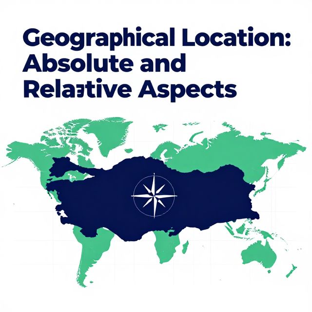
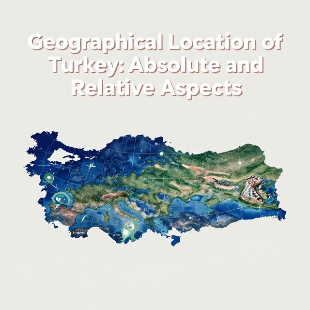
Geographical Location of Turkey: Absolute and Relative Aspects
Flash Kartlar
25 kartKarta tıklayarak çevir. ← → ile gez, ⎵ ile çevir.
Tüm kartları metin olarak gör
1. What is the fundamental importance of understanding a region's geographical location?
Understanding a region's geographical location is fundamental because it provides crucial insights into its physical characteristics, climate patterns, and the nature of human activities within that area. For countries like Turkey, situated at critical geopolitical crossroads, this understanding is particularly significant as it shapes historical trajectories, economic potential, and geopolitical roles. It forms the basis for a comprehensive grasp of its geography.
2. What are the two primary aspects of geographical location discussed in the context of Turkey?
The two primary aspects of geographical location discussed are absolute (or mathematical) location and relative (or special) location. Absolute location defines a place's exact coordinates using parallels and meridians, while relative location describes its position in relation to other significant geographical features, landmasses, and strategic points. Both are crucial for a complete understanding of Turkey's geography.
3. Define absolute geographical location and explain how it is determined.
Absolute geographical location, also known as mathematical location, defines a place's precise position on Earth using a coordinate system. This system relies on imaginary lines called parallels of latitude and meridians of longitude. Parallels measure distance north or south of the Equator, while meridians measure distance east or west of the Prime Meridian, providing a unique set of coordinates for any point.
4. What are parallels of latitude and what is their primary function?
Parallels of latitude are imaginary circles running east to west, parallel to the Equator. Their primary function is to measure the distance north or south of the Equator, which is designated as 0 degrees latitude. These lines help define a region's position relative to the poles and the Equator, influencing climate and solar radiation patterns.
5. What is the latitude of the Equator and the North/South Poles?
The Equator is designated as 0 degrees latitude, serving as the reference point for measuring north and south. The North Pole and the South Pole are located at 90 degrees North latitude and 90 degrees South latitude, respectively. These extreme points mark the northernmost and southernmost extents of the Earth's axis.
6. Describe two key characteristics of parallels of latitude.
Two key characteristics of parallels of latitude are their decreasing circumference towards the poles and the consistent distance between each degree. As one moves away from the Equator towards either pole, the circles of latitude become progressively smaller. Additionally, the distance between any two consecutive degrees of latitude is approximately 111 kilometers, remaining relatively constant across the globe.
7. What is Turkey's absolute latitudinal range and what hemisphere is it located in?
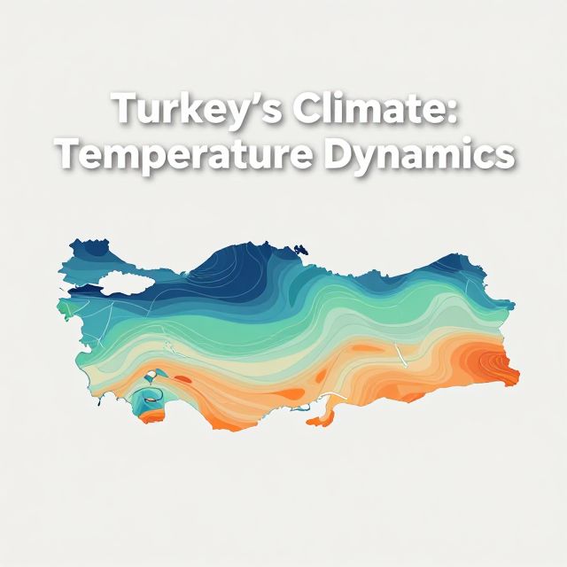
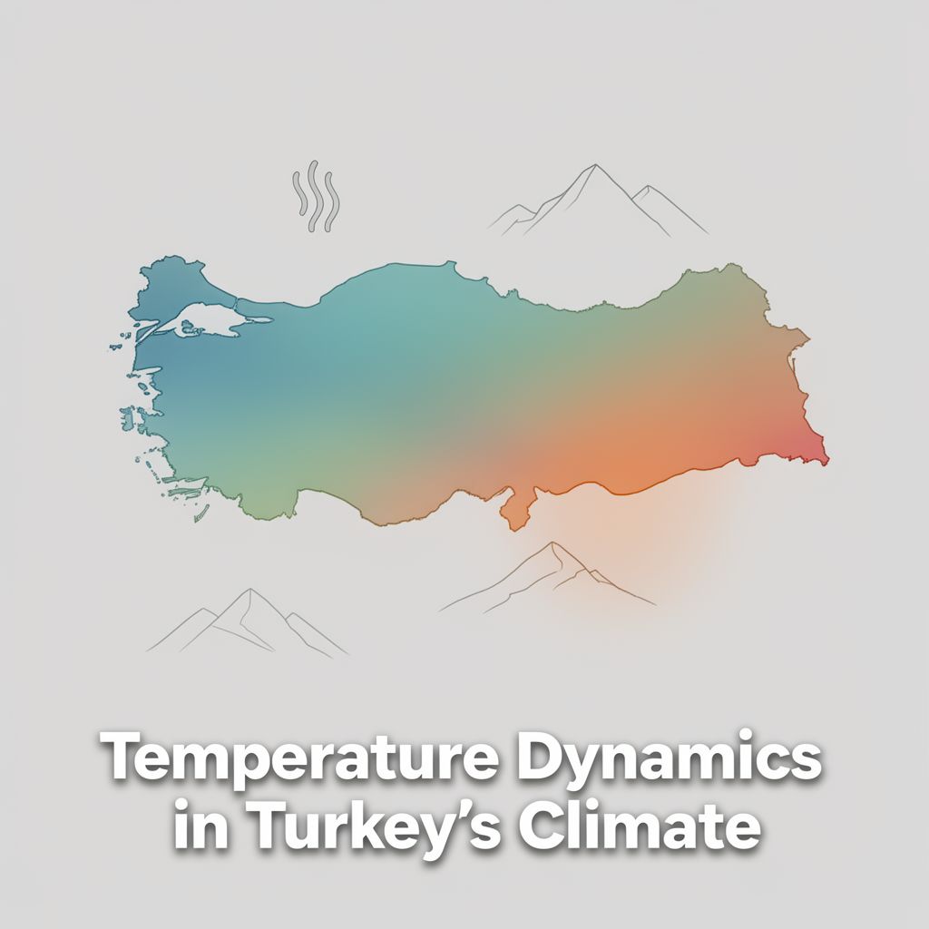
Turkey's absolute latitudinal range is between 36 and 42 degrees North latitude. This positioning places Turkey entirely within the Northern Hemisphere. This latitudinal span is significant as it determines many of the country's climatic characteristics and its experience of distinct seasons.
8. How does Turkey's latitudinal range (36-42° N) influence its climate and seasons?
Turkey's latitudinal range of 36 to 42 degrees North places it primarily within the temperate zone. This positioning is responsible for the country experiencing four distinct seasons, varying angles of solar radiation throughout the year, and general climatic patterns. The further north one travels within Turkey, the lower the angle of solar incidence and the cooler the average temperatures.
9. What are meridians of longitude and what is their primary use?
Meridians of longitude are imaginary half-circles that run from the North Pole to the South Pole. Their primary use is to measure the distance east or west of the Prime Meridian, which passes through Greenwich, England, and is designated as 0 degrees longitude. They are crucial for determining local and national time zones across the globe.
10. Describe two key characteristics of meridians of longitude.
Two key characteristics of meridians of longitude are that all meridians are of equal length and they converge at the poles. Unlike parallels, which vary in length, every meridian extends from pole to pole. The distance between meridians is greatest at the Equator and gradually diminishes to zero as they meet at the North and South Poles.
11. What is the Prime Meridian and what is its designated longitude?
The Prime Meridian is an imaginary half-circle that serves as the reference point for measuring longitude. It passes through Greenwich, England, and is designated as 0 degrees longitude. It divides the Earth into the Eastern and Western Hemispheres and is fundamental for global timekeeping and navigation.
12. How is time difference calculated based on longitude?
Time difference is calculated based on the Earth's rotation, where it covers 360 degrees of longitude in 24 hours. This means that for every 15 degrees of longitude, there is a one-hour time difference. More precisely, each degree of longitude corresponds to a four-minute time difference, which is used to determine local time variations.
13. What is Turkey's absolute longitudinal range?
Turkey's absolute longitudinal range is between 26 and 45 degrees East longitude. This span indicates its position within the Eastern Hemisphere. This longitudinal extent is important for understanding the variations in local time from its westernmost to its easternmost points.
14. Calculate the local time difference between Turkey's westernmost and easternmost points.
Turkey spans 19 degrees of longitude (45° E - 26° E = 19°). Since each degree of longitude corresponds to 4 minutes of time difference, the total local time variation across Turkey is approximately 76 minutes (19 degrees x 4 minutes/degree). This highlights the significant local time difference within the country.
15. Which meridian does Turkey use for its national time, and what is its corresponding GMT offset?
Turkey currently uses the 45th East Meridian for its national time. This meridian corresponds to the GMT+3 time zone. By adopting a single meridian for national time, Turkey ensures a unified time across the entire country, simplifying daily life and coordination.
16. Define relative geographical location and explain what it emphasizes.
Relative geographical location, also known as special location, describes a place's position in relation to other significant geographical features, landmasses, bodies of water, and strategic points. This perspective emphasizes the geopolitical, economic, and cultural implications of a country's surroundings, highlighting its connections and interactions with its environment.
17. How does Turkey's relative location position it geographically between continents?
Turkey's relative location uniquely positions it as a natural bridge connecting the continents of Asia and Europe. A smaller portion of its territory also extends into the Middle East. This strategic placement has historically made it a crucial crossroads for civilizations, trade routes, and cultural exchange between these major landmasses.
18. Name the three major seas bordering Turkey.
The three major seas bordering Turkey are the Black Sea to its north, the Aegean Sea to its west, and the Mediterranean Sea to its south. These extensive coastlines provide Turkey with significant maritime access and play a vital role in its trade, economy, and climate.
19. What are the Turkish Straits and why are they strategically important?
The Turkish Straits consist of the Bosphorus and the Dardanelles, which connect the Black Sea to the Sea of Marmara and then to the Aegean and Mediterranean Seas. They are strategically important because they form critical waterways, among the world's busiest maritime passages, controlling access for naval and commercial vessels. This gives them immense geopolitical significance.
20. How does Turkey's relative location contribute to its economic potential regarding energy?
Turkey's relative location places it in close proximity to significant energy reserves in the Middle East and the Caspian Sea region. This strategic positioning allows Turkey to serve as a potential energy corridor for Europe, facilitating the transit of oil and natural gas from these resource-rich areas to European markets. This role enhances its economic and geopolitical importance.
21. List at least five countries that share a border with Turkey.
Turkey shares borders with eight different countries. At least five of these include Greece, Bulgaria, Georgia, Armenia, and Iran. Other bordering countries are Azerbaijan (Nakhchivan), Iraq, and Syria, underscoring Turkey's central role in regional dynamics and trade.
22. How does Turkey's relative location influence its climate patterns?
Turkey's relative location, surrounded by three seas, significantly influences its climate patterns. Maritime influences from the Black, Aegean, and Mediterranean Seas moderate temperatures in coastal regions, leading to milder, wetter climates. In contrast, inland areas, further from maritime effects, experience more continental climates with greater temperature extremes.
23. What is the connection between Turkey's relative location and its diverse topography?
Turkey's diverse topography, including its mountain ranges and fertile plains, is intrinsically linked to its relative location at the convergence of tectonic plates. This geological activity, a direct result of its position, has shaped its varied landscape over millions of years, leading to significant elevation changes and seismic activity.
24. Summarize the overall significance of Turkey's relative geographical location.
Turkey's relative geographical location is a defining characteristic that shapes its historical trajectory, economic potential, cultural diversity, and geopolitical significance. Its position as a bridge between continents, access to vital seas, and control over critical straits have made it a crossroads for trade and civilizations, influencing its role on both regional and global scales.
25. What is the main distinction between absolute and relative geographical location?
The main distinction is that absolute location defines a place's exact coordinates using parallels and meridians, providing a precise, unchanging address on Earth. In contrast, relative location describes a place's position in relation to other features, emphasizing its connections, interactions, and the dynamic implications of its surroundings, which can change in significance over time.