This content is based on a YouTube video.
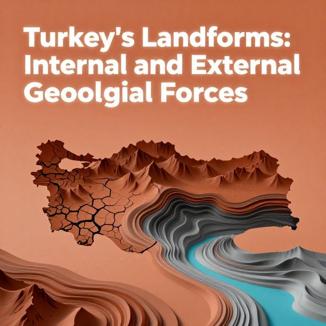
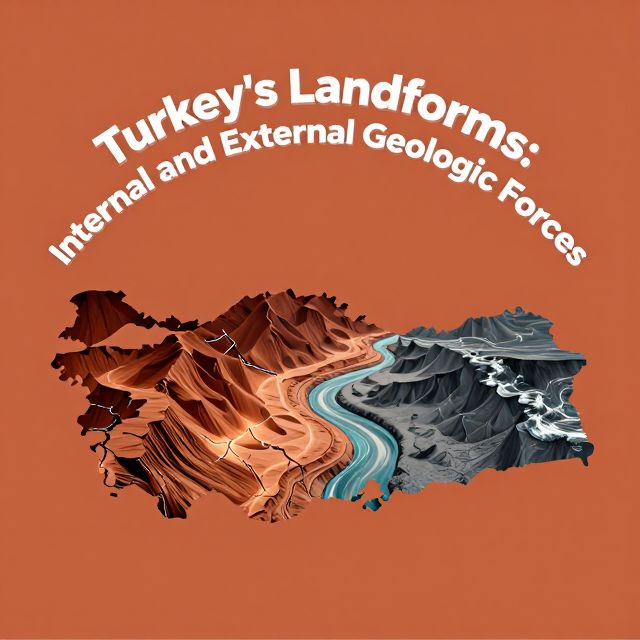
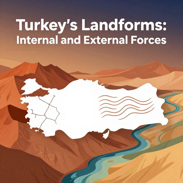
🇹🇷 Turkey's Landforms: Internal and External Forces
📚 Introduction to Turkey's Dynamic Landscape
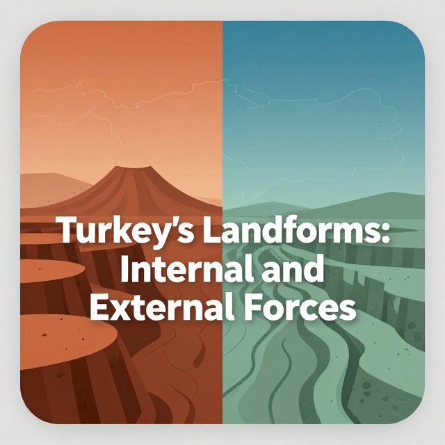
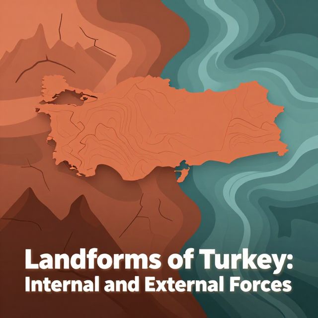
Turkey boasts a remarkably diverse and dramatic landscape, characterized by towering mountains, expansive plains, and deep valleys. This rich topography is a result of millions of years of geological activity, shaped by two primary categories of forces: internal (endogenic) forces originating from within the Earth, and external (exogenic) forces acting on its surface. Understanding these fundamental concepts is crucial for comprehending Turkey's physical geography, especially for those preparing for the KPSS exam.
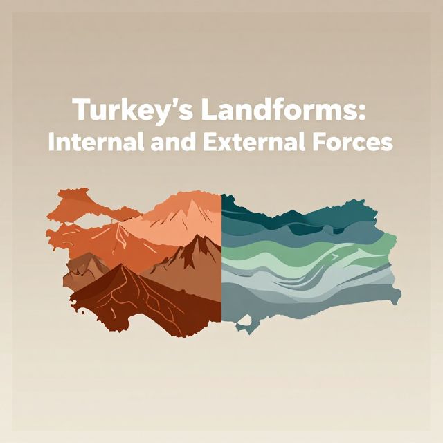
🌍 Internal Forces: The Earth's Architects
Internal forces, also known as endogenic forces, are powerful geological processes driven by the Earth's immense internal heat and pressure, stemming from its core and mantle. These forces are responsible for building up and shaping the major structural features of the Earth's crust.
1️⃣ Plate Tectonics: The Primary Driver
The most significant internal force influencing Turkey is plate tectonics. Turkey is situated on the active Alpine-Himalayan orogenic belt, a region where the Anatolian Plate is constantly being compressed between the larger Eurasian and African-Arabian plates. This immense pressure and movement lead to several key geological phenomena:
- 📚 Orogeny (Mountain Building): This process creates large mountain ranges through the folding and faulting of the Earth's crust.
- ✅ Examples in Turkey: The formation of the North Anatolian Mountains and the Taurus Mountains are prime examples of orogeny. These mountain systems are vital geographical features for the KPSS exam.
- 📚 Epeirogeny (Broad Uplift/Subsidence): This refers to the large-scale, regional uplift or subsidence of landmasses without significant folding or faulting. It causes broad, gentle changes in elevation over vast areas.
- 🌋 Volcanism: The collision of tectonic plates can create zones where molten rock (magma) rises to the surface, leading to volcanic activity.
- ✅ Examples in Turkey: Turkey has numerous extinct volcanoes, testaments to past volcanic activity. Notable examples include Mount Ararat and Mount Erciyes, which are important landmarks and frequently referenced in geographical studies.
- ⚠️ Earthquakes: The constant movement and friction along fault lines, which are fractures in the Earth's crust, cause frequent and often devastating earthquakes.
- ✅ Examples in Turkey: The infamous North Anatolian Fault is a major seismic zone, responsible for many significant earthquakes in the region. Understanding the location and impact of such fault lines is critical for KPSS.
💡 These powerful internal forces are directly responsible for Turkey's rugged and elevated terrain, laying the foundational structure upon which external forces act.
🌬️ External Forces: The Earth's Sculptors
External forces, also known as exogenic forces, operate on the Earth's surface. They relentlessly wear down, transport, and deposit materials that have been uplifted and shaped by internal forces. If internal forces build, external forces refine and modify the landscape.
2️⃣ Key Processes of External Forces
The main processes involved in external forces are:
- 📚 Weathering: The breaking down of rocks, either physically (e.g., by temperature changes, frost wedging) or chemically (e.g., by dissolution, oxidation).
- 📚 Erosion: The process of transporting these broken-down materials from one location to another.
- 📚 Deposition: The process by which eroded materials are laid down or settled in new locations.
3️⃣ Primary Agents of Erosion in Turkey
Various agents contribute to erosion, each leaving distinct marks on Turkey's landscape:
- 🌊 Water (Fluvial Erosion): Rivers are incredibly powerful agents of erosion, carving out valleys and canyons.
- ✅ Examples in Turkey: Rivers like the Kızılırmak and the Euphrates significantly shape the landscape by carving deep valleys and canyons. Their courses and the landforms they create are important geographical features.
- 💨 Wind Erosion: Prominent in arid and semi-arid regions, wind erosion shapes unique rock formations and transports fine sediments.
- ✅ Examples in Turkey: Central Anatolia, with its dry climate, is a region where wind erosion is particularly active, contributing to distinctive landforms.
- ❄️ Glacial Erosion: Although less widespread today, glaciers have left their mark on Turkey's high peaks during past ice ages.
- ✅ Examples in Turkey: The high peaks of the Taurus and North Anatolian Mountains show evidence of past glacial activity, such as U-shaped valleys and cirques.
- 🧪 Chemical Weathering and Karst Topography: This is particularly significant in regions with soluble rocks.
- ✅ Examples in Turkey: The Mediterranean region is famous for its karst topography, where soluble rocks like limestone are dissolved by water, forming distinctive features such as caves, sinkholes (dolines), and underground rivers. This is a key geographical characteristic for the KPSS exam.
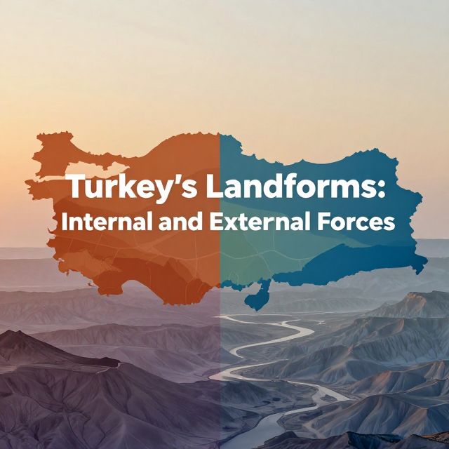
🤝 The Interplay of Forces: A Dynamic Balance
Turkey's remarkable landforms are a result of a continuous and dynamic interplay between these internal and external forces.
- Internal forces (plate tectonics, orogeny, epeirogeny, volcanism, earthquakes) build up the land, creating the initial relief and elevated areas.
- External forces (water, wind, ice, chemical weathering) then work tirelessly to wear down, transport, and reshape these elevated areas, creating valleys, plains, and unique erosional features.
It's a constant cycle of creation and destruction, a dynamic balance that shapes the very ground beneath our feet. Understanding this fundamental relationship between the Earth's internal energy and surface processes is key to comprehending Turkey's diverse and incredible natural heritage. ✅